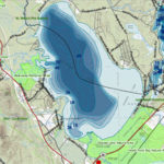
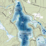
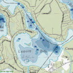
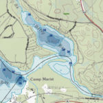
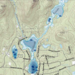
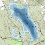
If you’re a boater you know where the lake’s shallow areas are – probably based on the painful experience of a damaged prop. But do you know where the deepest spots are, and which part of the lake has the deepest average depth? Even if you’ve plied the waters of the lake and bays for years, the answers might surprise you.
Creating maps that measure the depth and contour of lakes is called bathymetry, and it’s part of an ongoing process at N.H. Fish & Game that has resulted in more than 400 maps to date. Check out the maps below for Ossipee Lake, the bays, and the surrounding ponds.
